
Son Morro near Mancor de la Vall
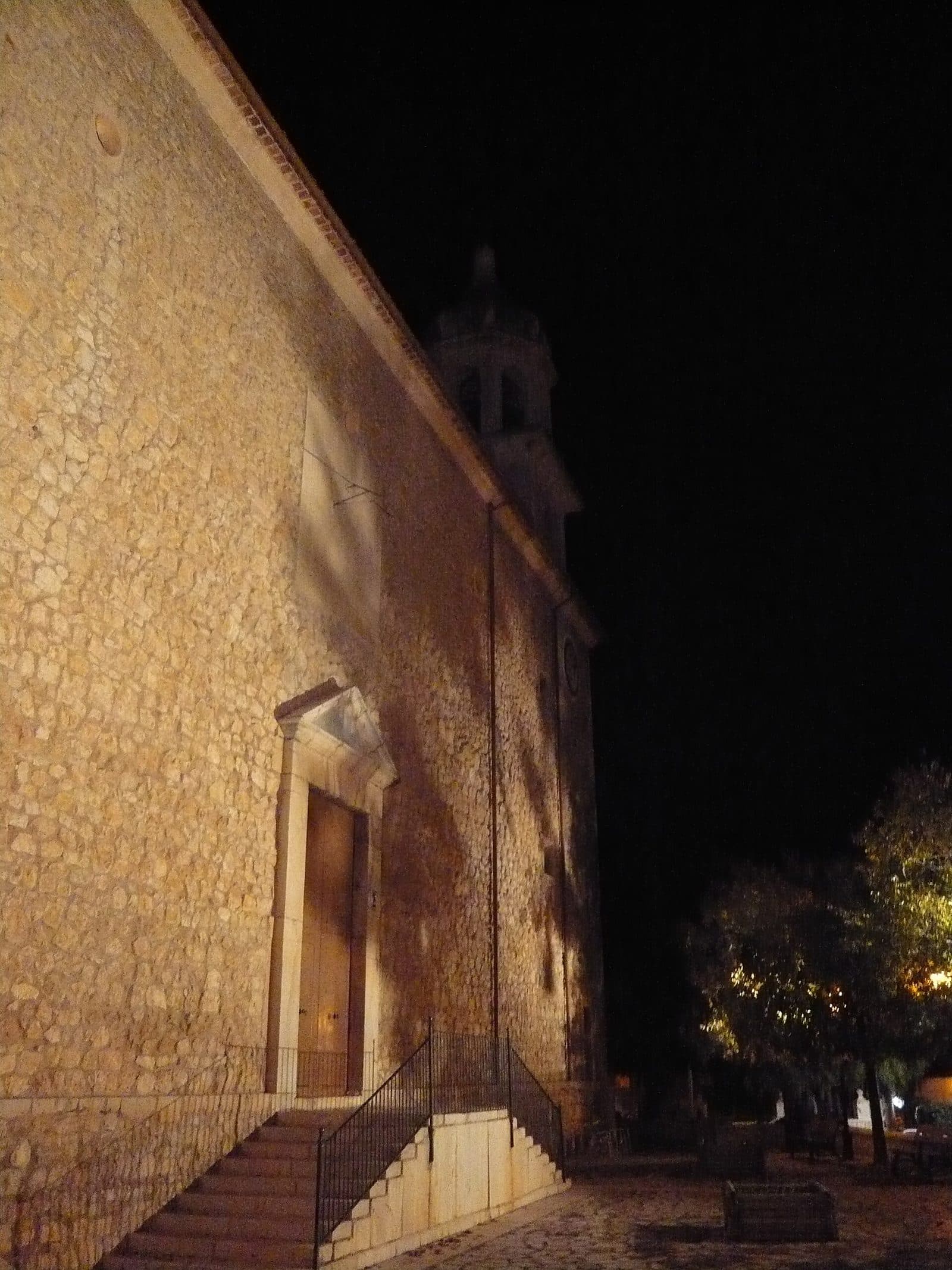

Son Morro is a historic attraction near Mancor de la Vall in central Mallorca. The name leads to a quiet, rural area on the edge of the Serra de Tramuntana—far from the well-known coastal destinations and their heavy excursion traffic.
A visit is aimed primarily at travelers who do not view historic places in isolation but want to understand their setting. Mancor de la Vall lies between the plain around Inca and the rising mountains. Farms and small settlements shape this area more strongly than large tourist complexes.
For this very reason, Son Morro should be approached as a specific destination. It is not a place where visitors can expect an extensive museum tour without prior preparation. Current access information should be checked before setting out; fixed visiting hours and an admission price are not listed.
It makes sense to plan Son Morro as part of a stay in Mancor de la Vall. This leaves time for the village, its lanes, and the transition from central Mallorca to the mountain landscape. It suits travelers interested in cultural history as well as those seeking a peaceful starting point for an excursion into the Raiguer and the Serra de Tramuntana.
Getting There and Parking
The main routes initially lead to Mancor de la Vall. This is important for planning: the stated distances and driving times end in the village, not directly at Son Morro. For the final stretch, the exact location of the attraction should be marked on the map before departure rather than relying on the place name alone.
From Palma Airport
The road distance from Palma Airport to Mancor de la Vall is 39 kilometers; the drive takes around 44 minutes. The route initially follows the Ma-30, then the Ma-13 toward central Mallorca, and finally the Ma-2111 to Mancor de la Vall. Most of the journey therefore follows the main access routes into the Raiguer, while the final section becomes distinctly more rural.
The 44 minutes apply as far as Mancor de la Vall. Anyone who has planned Son Morro as a fixed part of their itinerary should allow additional time to find their way through the village and complete the final stretch to the attraction. It is therefore advisable to park only where this is clearly permitted and to keep access routes to homes or agricultural properties clear.
From Palma
From central Palma, the road distance to Mancor de la Vall is 36 kilometers. The drive takes around 49 minutes and follows the Ma-13 and the Ma-2111. Although the route is slightly shorter than the connection from the airport, it takes longer because of the journey out of the urban area.
Here too, the measured route ends in Mancor de la Vall. Navigation should therefore continue to the specific destination point for Son Morro.
By Bus
Nearby stops are listed as Mancor de la Vall with the identifier 34002 and Biniamar with the identifier 58006. For a visit to Son Morro, Mancor de la Vall is the most obvious reference point. However, the stop information alone confirms neither a reliably short walk nor a direct connection to the attraction.
Anyone traveling by public transport should therefore check not only the bus journey but also the onward route in advance. Timetables may change depending on the season and day of the week. Biniamar may appear as an alternative stop when planning the route, but it is in another village; without a suitable onward connection, it is not automatically the more practical choice.
Bus lines to Son Morro at a glance
| Line | Route | Departures/day | First | Last |
|---|---|---|---|---|
| 311 | Mancor de la Vall - Inca | 40 | 06:30 | 21:50 |
From the official GTFS feeds (TIB/SFM), no real-time data. The figures cover all stops in the town; weekend and holiday services differ — check with the operator before travelling.
Getting there by bus
Mancor de la Vall (34002) · 0.0 km as the crow flies
- 311Mancor de la Vall - Inca · Daily
Biniamar (58006) · 2.0 km as the crow flies
- 311Mancor de la Vall - Inca · Daily
Timetable data: official GTFS feeds (TIB/EMT), no real-time — check with the operator before travelling.
Things to See Nearby
Mancor de la Vall lies where the plain of central Mallorca meets the Serra de Tramuntana. The village is located 215 meters above sea level and is connected by road to Inca, Biniamar, and Caimari. This setting makes it a peaceful stop between the transport routes of the Raiguer and the roads into the mountains.
Mancor de la Vall
The place name itself points to a long history. One interpretation traces it back to the Arabic word “Benacor,” explained as “high building on the hill” and associated with Mount Santa Llúcia. Another interpretation sees its origin in the Berber Manquir clan. Both interpretations recall how clearly the Islamic period lives on in Mallorca’s place names.
Today, Mancor de la Vall has retained the manageable scale of a small village. When visiting Son Morro, it is worth not treating the village merely as a navigation destination. Its hillside location, connections to the surrounding settlements, and proximity to the Tramuntana help place the historic attraction within its rural setting.
Biniarroi, Massanella and Biniatzent
In addition to Mancor, the municipality includes smaller settlements and groups of farmsteads such as Biniarroi, Massanella, and Biniatzent. Their traditional structures are associated with the period of Mallorca’s conquest by King Jaume I. They show that the municipality’s history is not limited to a compact village center but is distributed across scattered farms and small residential sites throughout the landscape.
For an excursion, this primarily means that Son Morro stands in an area where historical traces do not appear as a self-contained open-air museum. Many impressions emerge through the locations of settlements, paths, and the relationship between communities and cultivated land. Anyone wishing to appreciate these connections should allow more time for Mancor de la Vall than for a brief photo stop.
Trails in the Serra de Tramuntana
The municipality has designated its own hiking routes, offering a way to explore the area away from the roads. Such a walk can be a worthwhile addition to a visit to Son Morro, provided that access, the route, and its requirements have been checked in advance. No specific walking times or direct hiking connection from Son Morro are assumed here.
A detour to Inca is another suitable option if the excursion focuses more strongly on central Mallorca. Biniamar and Caimari, by contrast, lead farther toward the edge of the Tramuntana. Son Morro can therefore form part of a day combining historic places, small villages, and the changing landscape between the plain and the mountains.
Local insider tips
Mark the Destination in Advance
The stated driving times only lead as far as Mancor de la Vall. Save the specific location of Son Morro before departure; the place name alone is not enough for the final stretch.
Check Mancor Rather Than Biniamar
For Son Morro, the Mancor de la Vall stop is the most obvious reference point. Biniamar also appears nearby, but it is in another village and is not automatically the better connection.
Combine It with a Day of Hiking
The municipality of Mancor de la Vall has designated hiking routes through its territory. Visitors to Son Morro can therefore combine the historic stop with the landscape where central Mallorca meets the Serra de Tramuntana.
Allow Time for Mancor
Mancor de la Vall is more than the endpoint of the driving route. The small village and surrounding settlements help place Son Morro within the municipality’s rural and historical context.