
torre d’enfilació near Betlem: Mallorca’s mysterious alignment tower
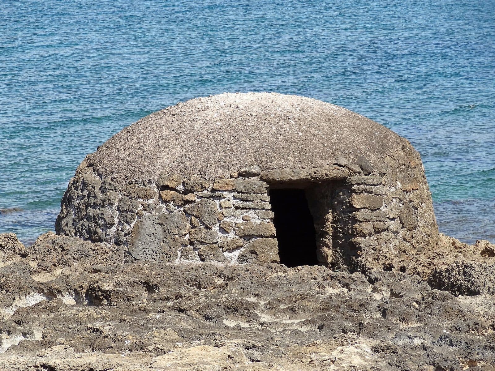

Anyone who spots a tower on Mallorca’s coast usually thinks of pirates, watch fires, and centuries-old defenses. At the torre d’enfilació near Betlem, however, this expectation leads to the wrong era. The slender monument belongs to a military alignment system used for submarine exercises around the Badia d’Alcúdia. Here, the story is told not by defensive walls and arrow slits but by the structure’s shape, location, and imaginary line to a second tower. This unusual function is precisely what makes the stop worthwhile: the structure is a technical marker in the landscape whose language becomes clear only once you know that the Torres d’Enfilació operated in pairs. From the sea, two markers had to be visually aligned to create a bearing line.
For travelers interested in military history, navigation, and overlooked monuments, the torre d’enfilació is particularly revealing. It represents a layer of the island’s history that is easily missed among bathing coves and coastal towns. Photographers will also find an unusual subject, as its austere, obelisk-like silhouette looks markedly different from Mallorca’s traditional round towers. The visit is best understood as a deliberate short cultural stop, since only the historical context transforms the initially mysterious structure into a readable instrument: a fixed marker on land that helped crews out in the bay determine their position.
History and significance
The military training area
The history of the Torres d’Enfilació is closely connected with military training operations in the Badia d’Alcúdia. Between 1941 and 1970, the bay was home to the so-called Polígon d’Armes Submarines. Exercises involving submarines, mines, and torpedoes were conducted there. For such maneuvers, the position of a vessel on the water had to be reliably related to fixed points on land.
For this purpose, the Spanish military had a series of conspicuous alignment towers built. Records document 14 pairs between the Albufera de Muro and the Colònia de Sant Pere. The torre d’enfilació near Betlem should therefore not be understood as an isolated monument but as part of a coast surveyed for military purposes. What now appears to be a solitary, somewhat mysterious marker originally belonged to a coordinated system.
The towers were constructed for military training operations and remained important until those operations ended. They therefore do not date from the earlier period of coastal defense that is associated with pirate attacks in many parts of Mallorca. They are witnesses to the 20th century and to a time when the broad bay was used as a controlled area for naval exercises.
Taking bearings through alignment
The Catalan term “enfilació” describes the principle of aligning two points in a straight line. With Mallorca’s alignment towers, one tower stood closer to the sea, while the corresponding second tower stood around 200 meters behind it. From the water, their visible positions relative to one another changed as the submarine moved sideways. When both markers visually overlapped, it was on the designated bearing line.
One such line alone did not provide a complete position. Combined with additional bearings, however, it could be used to determine where a submarine was located within the training area. The towers, visible from afar, thus performed a function that was neither decorative nor symbolic: they made geometric relationships in the landscape immediately readable.
This also explains their unusual form. A low or inconspicuous building would have been difficult to recognize from the sea. The distinctive silhouette, high-contrast paintwork, and numbering allowed clear identification. The tower was less a building than a signal surface—architecture reduced to visibility and direction.
From instrument to monument
When military training operations ended, the bearing lines lost their original purpose. Some Torres d’Enfilació along the coast of the Badia d’Alcúdia were later repaired and repainted white and red, while others remained standing as relics in varying states of preservation. This is precisely why the towers around the bay do not all look the same today.
For the torre d’enfilació near Betlem, the loss of its function brought a complete change in how it is perceived. It once had to be as unmistakable as possible from a great distance; today, it is a monument. Its significance lies in the connection between technological history, the landscape, and the military use of the bay.
Anyone who sees the structure merely as an “old tower” therefore misses the crucial point. It did not guard a section of coast or house a watch crew in the conventional sense. Its historical value lies in the invisible line that ran from it through a companion structure and out across the water.
What to see
The obelisk-like silhouette
The most striking feature is the soaring, obelisk-like shape. It clearly distinguishes the Torres d’Enfilació from Mallorca’s stocky, usually round coastal watchtowers. Instead of a broad platform or fortified defensive top, it has a narrow structure whose outline could be recognized from a considerable distance.
This form was not an attempt to imitate a prestigious monument but followed the practical purpose of an alignment marker. From the bay, the tower had to appear as a clear vertical mark standing out against the land and sky. When viewing it, it is therefore worth taking a few steps to the side: even a small change in position makes it easier to understand why the exact viewing direction was crucial to the historical system.
Up close, the torre d’enfilació also appears remarkably abstract. It lacks the familiar structural elements that would immediately reveal the use of a house or defensive tower. Instead, the structure resembles a marker made permanent, whose function depended primarily on its visibility from afar.
White, red, and numbers
Historically, the alignment towers were painted white, numbered, and provided with red markings. The strong color contrast helped crews on the water distinguish between individual towers and identify the correct pairing. Some examples around the Badia d’Alcúdia were later restored in this striking color scheme.
At the monument near Betlem, attention should therefore be paid not only to the overall form. Surfaces, traces of paint, and possible markings are more important for understanding it than decorative details. However, the current condition of one tower should not automatically be inferred from photographs of other Torres d’Enfilació. Several similarly named structures stand around the bay, and their preservation and restoration differ.
The numbering in particular had a very specific purpose within the original system. It transformed the coast into an ordered sequence of reference points. For present-day visitors, it indicates that the towers were not distributed randomly but must be read as components of a larger technical plan.
The invisible pair of towers
The most fascinating “structural element” is not made of stone: it is the imaginary axis between the front and rear alignment towers. Each pair consisted of one marker on the first coastal line and a second structure around 200 meters behind it. Only when both appeared perfectly aligned from the water had the intended bearing been reached.
At the site, looking away from the tower and across the landscape helps make this principle understandable. The question is not only what the structure looks like but where its counterpart stood and from which direction both could be seen together. This changes the visit: viewing a single object becomes an exercise in reading a historical sightline.
This way of seeing also explains why the surroundings form part of the monument even though they have not been presented as a museum. The terrain, coastline, and viewing direction were all components of the instrument. Without them, the tower would remain an unusual shell; with them, it becomes evidence of applied navigation.
A technical alignment marker
The term “Torre” can create misleading expectations. At the torre d’enfilació, the silhouette, markings, location, and alignment axis are the central features. The most rewarding view therefore does not lead from above across the coast but from ground level toward the tower and onward along its historical alignment.
Nor should the monument be confused with Mallorca’s medieval or early modern coastal defenses. Its slender geometry already reveals a different origin. Anyone expecting traditional arrow slits, a guardroom, or massive defensive walls is looking for features that were not essential to this type of structure.
That does not make the tower less interesting, but more specific. It is a rare example of how a highly specialized technical task produced its own architectural form. The structure was visible from afar, unmistakable, and permanent—exactly what was required of an alignment marker.
Visiting the tower
A monument that needs explanation
The first impression is quickly gained: a slender tower, an unusual shape, and a location near the northeastern coast. The real visit, however, begins only with the question of its function. Anyone who imagines the two markers standing one behind the other and the view of a submarine from the Badia d’Alcúdia will understand more than during a simple photo stop.
A short stop is sufficient for a first impression. More time is worthwhile if the torre d’enfilació is used as the starting point for a walk through Betlem or if you try to trace the historical sightline across the terrain. The pace depends entirely on how closely you examine the structure and its surroundings.
It helps to view the monument first from the front and then from positions offset to either side. This clearly demonstrates how strongly the apparent alignment of two reference points changes with movement. This small thought experiment conveys how the alignment system worked more directly than a lengthy technical description.
Time of day and planning your visit
Daylight is more important for this visit than a particular time slot. It makes the outline, surface, and possible traces of paint or numbering easiest to recognize. Photographers should also bear in mind that the effect of the narrow silhouette changes with the direction of the light. However, this does not provide a reliable rule for finding especially quiet visiting times.
Current opening hours are not recorded. Nor is reliable information about admission available. Since access and local regulations can change, checking immediately before the trip is advisable. Barriers, private property, and notices at the site take precedence over the desire to get as close to the structure as possible.
The strength of the visit lies in a focused moment of understanding. Anyone who later notices other surviving alignment towers around the Badia d’Alcúdia will see the coast differently: no longer as a line of mysterious obelisks, but as a former navigation system.
Getting there and parking
From Palma and the airport to Betlem
From Palma Airport, the route follows the Ma-15, then the Ma-3322 and the Ma-3331 into the northeast of the island. The road distance to Betlem is 73 kilometers, and the drive takes around 65 minutes. These details apply specifically to Betlem and not to a parking space immediately beside the torre d’enfilació.
From central Palma, the route also follows Ma-15, Ma-3322, and Ma-3331. The road distance to Betlem is 75 kilometers, for which around 71 minutes should be allowed. The Ma-15 covers the long section across the island before the smaller roads lead toward the northeastern coastal towns.
For the final section within Betlem, an up-to-date detailed map is useful because the long-distance journey times show only the town as the destination. On arrival, first check where vehicles may legally be parked and which access route to the monument is intended.
Bus and onward journey
Bus stops listed in the surrounding area include Colònia de Sant Pere, Montferrutx 2, and Montferrutx 1. Anyone traveling by public transport must plan the onward journey to Betlem and the torre d’enfilació separately and check current connections.
When combining a bus journey with walking, the return trip should be confirmed before setting out. The attraction is not an urban museum with frequent transport links but a small monument on the edge of a coastal village. A map view is therefore more useful for orientation than simply entering the name, especially since several Torres d’Enfilació are marked along the Badia d’Alcúdia.
When navigating, Betlem must be explicitly checked as the location. Alignment towers with the same name also stand near Can Picafort, Son Serra de Marina, and in the Muro area. Photographs, reviews, or routes for those structures do not automatically lead to the torre d’enfilació described on this page.
Bus lines to torre d’enfilació at a glance
| Line | Route | Departures/day | First | Last |
|---|---|---|---|---|
| 421 | Colònia de Sant Pere - Artà | 48 | 07:30 | 19:55 |
From the official GTFS feeds (TIB/SFM), no real-time data. The figures cover all stops in the town; weekend and holiday services differ — check with the operator before travelling.
Getting there by bus
Colònia de Sant Pere (6003) · 0.3 km as the crow flies
- 421Colònia de Sant Pere - Artà · Daily
Montferrutx 2 (6009) · 0.7 km as the crow flies
- 421Colònia de Sant Pere - Artà · Daily
Montferrutx 1 (6004) · 0.7 km as the crow flies
- 421Colònia de Sant Pere - Artà · Daily
Timetable data: official GTFS feeds (TIB/EMT), no real-time — check with the operator before travelling.
Nearby places
Betlem and the northeastern coast
Betlem provides a quiet starting point for viewing the monument not only as an individual object but within its coastal landscape. The village lies in northeastern Mallorca, beyond the major holiday resorts of the Badia d’Alcúdia. The torre d’enfilació therefore fits well into a trip focused not on the number of attractions but on careful observation.
A walk through the village can be used to look for sightlines between the coast and the hinterland. Unobstructed lines of sight were essential to the historical alignment technique. Even if the surroundings have changed since military operations ended, the location on the edge of the broad bay remains the key to understanding it.
The nearby Colònia de Sant Pere is another suitable stop. It also marks the eastern part of the coastal stretch over which the historic tower pairs were distributed from the Albufera de Muro. A visit to the torre d’enfilació can therefore be combined with time in an established coastal town without artificially turning the monument into an overly long item on the itinerary.
Traces along the Badia d’Alcúdia
Anyone wishing to explore the subject further can look for additional alignment towers on later stages of the trip. Examples can be found near Son Serra de Marina, on the public Finca Son Real, and in Can Picafort. Some have been restored in the historical white-and-red color scheme, while others more clearly show the changes that have occurred since military use ended.
A themed drive along the coast makes the system’s logic visible. One tower appears curious; several locations reveal planning, repetition, and military order. Each tower should nevertheless be treated as a monument in its own right. The condition, access, and immediate surroundings of the examples near Muro or Can Picafort cannot be applied to the site near Betlem.
For those interested in cultural history, this connection is more rewarding than searching for a large visitor center. The Torres d’Enfilació form a decentralized monument: their history is spread across a long stretch of coastline and becomes fully understandable only by comparing the different locations.
The place it belongs to
Betlem in the place guidePractical information for your visit
Shoes, sun, and equipment
An up-to-date map on your phone helps avoid confusion with towers of the same name. Since the historical function was designed around long-range visibility, a photograph showing the tower together with its surroundings usually conveys more about the alignment system than a close-up of individual surfaces.
Visiting with children
With children, the torre d’enfilació works best as a short discovery activity: Why do such towers stand in pairs, and what happens when two markers appear to move behind one another as you walk sideways? The principle can be explained without complicated technology and makes the abstract concept of taking a bearing easy to understand.
The monument itself, however, is neither a playground nor a conventional family museum. The focus is on the obelisk-like form, the historical alignment function, and its place within the former coastal system. Adults should supervise children appropriately near the structure.
Anyone expecting a long visit with entertainment is unlikely to find this the right destination. As a short historical stop during an excursion, however, the tower can spark curiosity—especially if more examples are discovered around the bay afterward.
What not to confuse it with
The torre d’enfilació near Betlem is neither a medieval watchtower nor the Torre de Ca’n Picafort, nor is it the ruin on the coast of Muro. Several structures around the Badia d’Alcúdia share the same generic name. Search engines and mapping services can easily mix up these locations.
Before setting out, therefore, check not only the name but also Betlem as the destination. Information about beach access, barriers, restoration, or parking at another alignment tower does not automatically apply to this monument. Such care not only prevents detours but also keeps this distinctive historical site from being confused with a better-known namesake.
It is equally important to have the right expectations: what you will see is a technical monument whose history is revealed through its form and location. Its appeal lies in deciphering a seemingly simple marker on the coast.
Local insider tips
Recreate the bearing line
Taking a few steps sideways changes the tower’s position relative to points in the background. This apparent movement in the field of vision explains exactly why two alignment towers were made to overlap when viewed from the water.
Always check the destination
Several structures along the Badia d’Alcúdia are called Torre d’Enfilació. When using maps, images, and navigation, explicitly check for Betlem; otherwise, the route can easily lead to Can Picafort or Muro.
Do not photograph only up close
The tower’s historical purpose depended on its visibility from afar. A photograph including the coast and hinterland conveys its former alignment function better than a tightly cropped view of the structure.
Compare other towers
After your visit, it is worth comparing the alignment towers near Son Serra de Marina, Son Real, or Can Picafort. Only by seeing several locations does it become clear that the obelisks were parts of a planned coastal system.